On the Czech/Austrian border, about an hour’s drive north from Vienna, and about 30 minutes south of the Czech city of Brno.
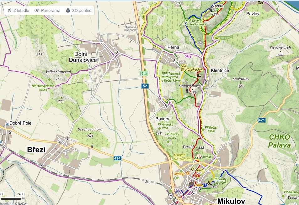
A map of most of the Pálava Hills from Mikulov in the south to Pavlov in the northwest corner.
Below, a view to the northeast towards the Pálava Hills from Ořechová Hora, a fine vineyard for scenery and wines:
The video, taken in late November 2015, highlights some of the major wine towns and vineyards of the Pálava Hills, starting from the view of Březí, the camera rotates north to find the limestone of the hills and finally looks east towards Mikulov. (Fun fact: Březí and an unseen town nearby, Dobré Pole, have names that mean “With Calf” and “Good Field” respectively, indicating what their purposes were in the past). The video both captures and obscures the Pálava Hills. It accurately displays their elevation, but not their stature: they only rise about 350m (approximately 1150 feet) from their lowest to their highest (Děvín). That’s not sooo much. But, the hills linked together, like a ship in port, loom well over the surrounding land, more than what can be expressed by the camera.
As one can see, from the west (and the unseen northwest) the Pálava hills rise fairly steeply to their heights. Heading east from the crest, the land undulates down more gently through UNESCO-protected forest, a few grain fields and even fewer vineyards.
Grapes, particularly in cool regions like Pálava, need southeast- to south-facing vineyards to increase exposure to sunlight and maximize metabolism. Despite their location on the western side of the Pálava range, most of the vineyards do have good southerly orientation.
However, vineyards on the eastern slopes, some with excellent exposition, nevertheless can suffer from the higher elevation and gradual descent of the land. Too-cool temperatures in the spring and fall can retard their growth or even threaten with frost. How much difference can a few hundred feet make? Townspeople in Mikulov attached an old and impolite moniker to the inhabitants of Klentnice, the highest village in the area; they called them, “Snow-monkeys.” Cold can bruise egos as much as fruit.
As one descends very intriguing sites do exist: On some sectors of U Božích muk, southeast of Pavlov, Dense limestone rests only 40-50cm below the surface, in one area even “blooming” to the clayey surface in chunks of dense white rock. With early morning sunshine, Sauvignon and Pinot Blanc express themselves quite well on this soil.
Are the current locations of vineyards historic? Could people have previously planted more on the eastern side with it’s hypothetically-better exposition? Of the maps I’ve seen going back to 1867, the situation of the vines remains very similar to what one sees today, vines planted mostly on the western/ southwestern face, with a slightly smaller acreage on the eastern face, woods and game land farther east/ southeast from the crest. That’s hardly going back to the Romans, but I don’t read Latin yet.
Czechs call the Pálava Hills the “Provence of the Czech Republic.” (That’s a little like a book title I once saw, “The Paris of Appalachia: Pittsburgh in the 21st-century.” I am a Pittsburgh fan, but yinz ain’t got no Louvre there. St. Thomas Aquinas didn’t teach there. One might say both cities have buildings and people and at least two french bakeries.) The region enjoys more sun and drier days than most of the Czech Republic, both aspects that make grapes happy. The bright white limestone of Provence finds its pretty little sibling in the cliffs of Pálava, but, please, it’s no Provence. Thank goodness.
That bare limestone of the Pálava Hills creates the weather there. The bare cliffs manages to reflect/ emanate enough heat to create an updraft of warm air which then redirects cooler, rainier weather patterns from stopping by. During the summer, rain can fall heavily in Brno, 50 kilometers north, and Mikulov sees nothing but blue skies. Low to moderate rainfall ensure healthier grapes. Healthier grapes make better wine…
